Saadiyat Island from space, 2002 to 2026
Mostly empty sand until the late 2000s. The Louvre Abu Dhabi opened here in 2017, among beach villas, hotels and the museums still being built around it. 12 cloud-free winters of real satellite pictures, Abu Dhabi, United Arab Emirates.
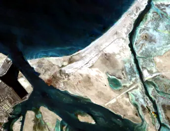
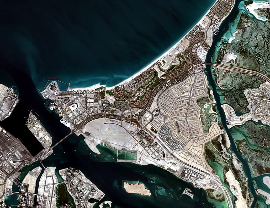
Every winter on the map
Compare any year with 2026.
Facts
- Emirate
- Abu Dhabi
- Centre
- 24.5350, 54.4300
- Years
- 2002–2026, 12 winters
- Landsat (30 m)
- 2 winters, 1990–2015
- Sentinel-2 (10 m)
- 10 winters, 2016–2026
- Frame year
- Median of clear pictures from 1 November to 31 March; 2026 means Nov 2025 – Mar 2026.
More places in the UAE
- Dubai Marina + Palm Jumeirah · Dubai
- Dubai South · Dubai
- Downtown Dubai · Dubai
- Dubai Hills · Dubai
- Palm Jebel Ali · Dubai
- Deira, Old Dubai + Creek Harbour · Dubai
- Sobha Hartland + Meydan · Dubai
- City Walk, La Mer + The World · Dubai
- Jumeirah Village Circle · Dubai
- International City + Silicon Oasis · Dubai
- Arabian Ranches · Dubai
- Abu Dhabi Corniche · Abu Dhabi
- Yas Island · Abu Dhabi
- Al Ain · Abu Dhabi
- Masdar City + Abu Dhabi Airport · Abu Dhabi
- Sharjah Creek · Sharjah
- University City + Aljada · Sharjah
- Ajman Corniche · Ajman
- Al Zorah · Ajman
- Umm Al Quwain Creek · Umm Al Quwain
- Ras Al Khaimah Old Town · Ras Al Khaimah
- Al Marjan Island · Ras Al Khaimah
- Mina Al Arab · Ras Al Khaimah
- Fujairah Port · Fujairah
Contains modified Copernicus Sentinel data 2015–2026 · Landsat imagery courtesy of NASA / USGS · © OpenStreetMap contributors.