Fujairah Port from space, 1990 to 2026
Fujairah on the Gulf of Oman: the port and the oil terminals north of the city. 14 cloud-free winters of real satellite pictures, Fujairah, United Arab Emirates.
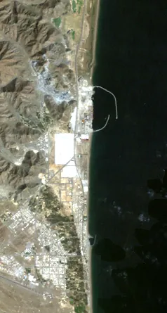
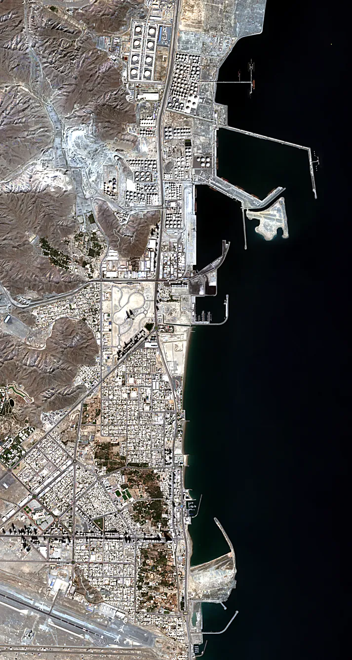
Every winter on the map
Compare any year with 2026.
Facts
- Emirate
- Fujairah
- Centre
- 25.1600, 56.3550
- Years
- 1990–2026, 14 winters
- Landsat (30 m)
- 4 winters, 1990–2015
- Sentinel-2 (10 m)
- 10 winters, 2016–2026
- Frame year
- Median of clear pictures from 1 November to 31 March; 2026 means Nov 2025 – Mar 2026.
More places in the UAE
- Dubai Marina + Palm Jumeirah · Dubai
- Dubai South · Dubai
- Downtown Dubai · Dubai
- Dubai Hills · Dubai
- Palm Jebel Ali · Dubai
- Deira, Old Dubai + Creek Harbour · Dubai
- Sobha Hartland + Meydan · Dubai
- City Walk, La Mer + The World · Dubai
- Jumeirah Village Circle · Dubai
- International City + Silicon Oasis · Dubai
- Arabian Ranches · Dubai
- Abu Dhabi Corniche · Abu Dhabi
- Saadiyat Island · Abu Dhabi
- Yas Island · Abu Dhabi
- Al Ain · Abu Dhabi
- Masdar City + Abu Dhabi Airport · Abu Dhabi
- Sharjah Creek · Sharjah
- University City + Aljada · Sharjah
- Ajman Corniche · Ajman
- Al Zorah · Ajman
- Umm Al Quwain Creek · Umm Al Quwain
- Ras Al Khaimah Old Town · Ras Al Khaimah
- Al Marjan Island · Ras Al Khaimah
- Mina Al Arab · Ras Al Khaimah
Contains modified Copernicus Sentinel data 2015–2026 · Landsat imagery courtesy of NASA / USGS · © OpenStreetMap contributors.